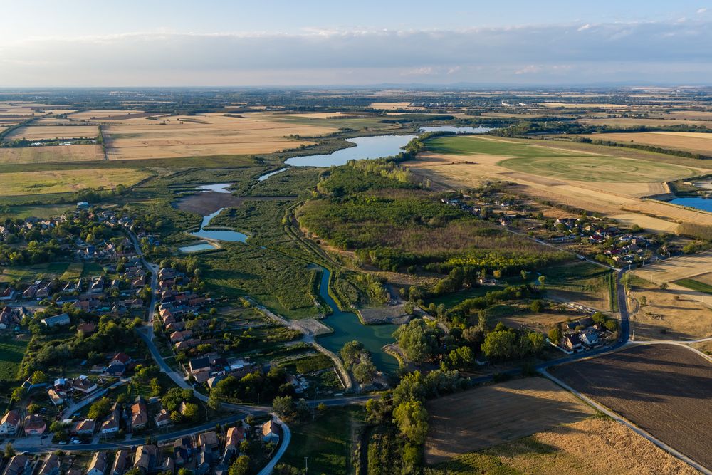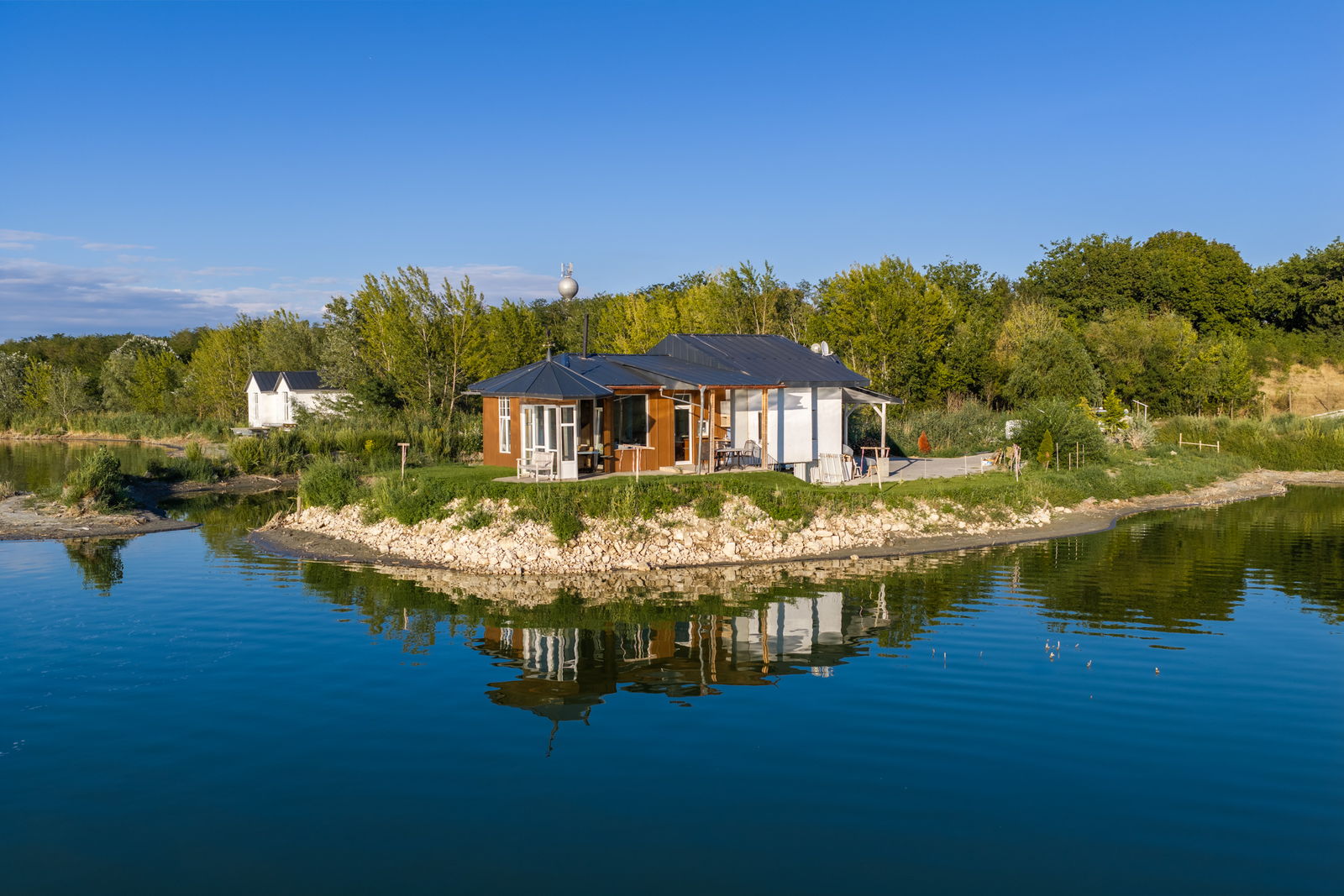
The natural anchor of the portfolio: an 84.83-hectare historic water estate formed around the two principal lakes of Kerek-tó and Kavicsos Hosszú. It combines open water, extensive reed margins and established fishpond infrastructure with potential for managed angling, low-impact recreation and nature-based tourism.
848,326 m² (84.83 hectares) · Cadastral parcel nos. 0543/1, 0543/2, 0543/3 and 0543/4
04 — 06
Photographs
Particulars
At a glance
848,094 m² (84.81 ha)
Main parcel 0543/1, registered as a fishpond
VHT/VT
Registration and planning classifications of the principal parcel
5% · 4.5 m
Maximum site coverage and building height
Kavicsos Hosszú · approx. 350,000 m²
Elongated lake body bordered by extensive reed beds
Kerek-tó · approx. 500,000 m²
The lake system’s principal open-water body
Continuous replenishment
Natural water supply through the historic lake system
Historic fishpond system
Large open-water areas, reed beds and centuries of managed water use
Existing infrastructure
Embankments, wintering ponds and water-control structures
Approx. 5 km
Potential lakeside walk and nature-interpretation route
Water sports and leisure
Principal function identified in the local planning framework
In Detail
A Historic Water Estate
The Boldogasszony lakes form part of a managed fishpond system whose history extends over several centuries. The property includes large open-water surfaces, extensive reed beds, wintering ponds, embankments and water-control structures, supported by continuous natural water replenishment.
Kerek-tó is the broad principal lake, reaching an estimated depth of three to four metres near the water-control structure. Kavicsos Hosszú is the second, elongated water body, creating an unusually long interface between open water, reed beds and shoreline, with views towards the Gerecse Hills. Subject to the relevant operating and regulatory requirements, the combined setting may support angling, sailing, nature observation and controlled water-based recreation.
Development and Operating Potential
The VHT/VT planning context, together with the water-sports and leisure function identified in the local plan, provides a basis for controlled recreation, managed angling and eco-tourism. The main parcel is subject to a stated maximum site coverage of 5% and a maximum building height of 4.5 m.
The established fishpond infrastructure, natural water supply and approximately five kilometres of potential lakeside route could support fishing stations, birdwatching points and nature trails as part of a coherent operating concept. Any works, change of use or commercial programme would remain subject to planning, environmental, water-management and other applicable approvals.
The Setting
Within the Boldogasszony Estate — a coherent landscape of lakes, woodland and historic architecture between Tata and Komárom.
Each is capable of standing alone. Tata lies eight kilometres east, Komárom nine west; the M1 motorway is some ten minutes by car, Budapest about seventy kilometres, Vienna about one hundred and eighty.
Private Enquiries
This property may be acquired on its own, in combination with its neighbours, or as part of the entire estate. Particulars and pricing are available to qualified parties.