Waterfront & wetland · 36.91 hectares · Komárom-Esztergom County
Mocsa Bathing Lake & Development Land
A 36.91-hectare waterfront and wetland estate adjoining Mocsa village, with three complementary planning components: a major water-management holding, a dedicated tourism parcel and a commercially zoned service plot. This combination offers a practical route to pair nature-led recreation with visitor facilities and supporting commercial infrastructure.
369,103 m² (36.91 hectares) · Cadastral parcel nos. 0512/1, 0512/2 and 88/2
05 — 06
Photographs
Particulars
At a glance
355,449 m² · VHT
5% site coverage, 4.5 m height; water-sports and leisure function
7,300 m² · Kbtu
10% site coverage, 5 m height; tourism designation
6,354 m²
Gksz Sz/2 · 40% · 9 m; commercial-service plot
Registered fishpond
Land-registry description of the principal waterside parcel
Kocs–Mocsa watercourse
Water replenishment supported by active natural springs
Utilities at the boundary
Direct connection to Mocsa's infrastructure; water, gas and sewerage
Tópart Street access
Direct village approach and public-road bridge
Reported motorway investment
A nearby interchange is described as under construction; status to be verified
Seventeenth-century origins
Documented historic fishpond setting
In Detail
Setting, Access and Water Supply
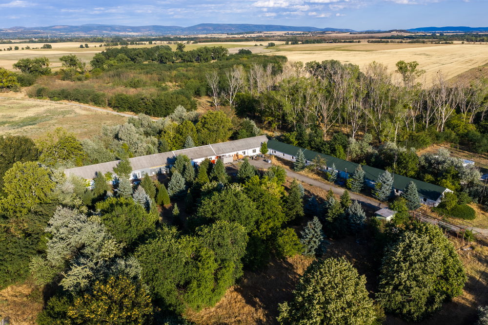
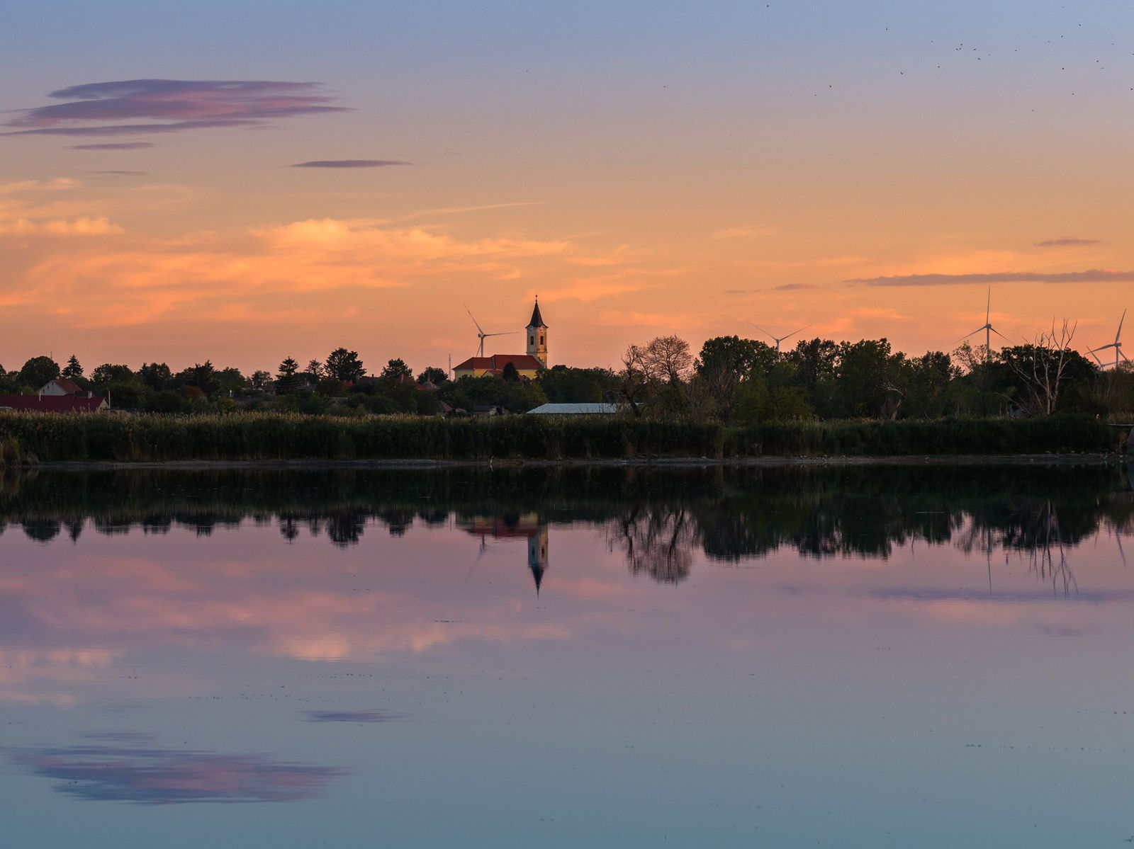
Mocsa Bathing Lake lies on the western edge of the village, connecting a natural waterside landscape directly with the local road network, utilities and service infrastructure. The lake forms part of a fishpond system documented from the seventeenth century. It is supplied by the Kocs–Mocsa watercourse and functioning natural springs.
The property is approached from Tópart Street across a public-road bridge, while water, gas and sewerage are reported at the site boundary. Source documentation also refers to a nearby motorway interchange under construction; investors should verify the current programme, route and delivery status as part of due diligence.
Three Complementary Planning Components
- Principal waterfront holding (355,449 m²): VHT water-management zoning with 5% maximum site coverage and a 4.5 m maximum building height. Based on the stated parameters, the indicative maximum footprint is approximately 17,772 m² and the indicative gross floor area approximately 35,545 m². Water sports and leisure are the principal functions identified in the local planning framework.
- Tourism parcel (7,300 m²): Kbtu zoning with 10% maximum site coverage and a 5 m maximum building height. This equates to an indicative maximum footprint of 730 m² and indicative gross floor area of 1,460 m², for tourism and visitor-economy uses.
- Commercial-service plot (6,354 m²; parcel 88/2): Gksz Sz/2 zoning with 40% maximum site coverage and a 9 m maximum building height. The stated parameters imply an indicative footprint of approximately 2,540 m² and gross floor area of approximately 7,620 m², suitable for commercial and service uses that could support the wider destination.
All calculations are indicative and require confirmation against the current local building code, cadastral position and applicable authority interpretations.
Plans & Maps
Property plans
The Setting
Within the Boldogasszony Estate — a coherent landscape of lakes, woodland and historic architecture between Tata and Komárom.
Each is capable of standing alone. Tata lies eight kilometres east, Komárom nine west; the M1 motorway is some ten minutes by car, Budapest about seventy kilometres, Vienna about one hundred and eighty.
Private Enquiries
This property may be acquired on its own, in combination with its neighbours, or as part of the entire estate. Particulars and pricing are available to qualified parties.